If you are planning to visit Temple University, we can help you find your way. Whether you already live in Philadelphia or are traveling from across the state or country, the following information can help you navigate everything from directions and parking to overnight accommodations.
Get started by using our detailed maps and directions to each of the Temple University campuses. Each map includes parking and accessibility information. You can also take SEPTA, Philadelphia’s public transportation system, to help plan your trip to Temple.
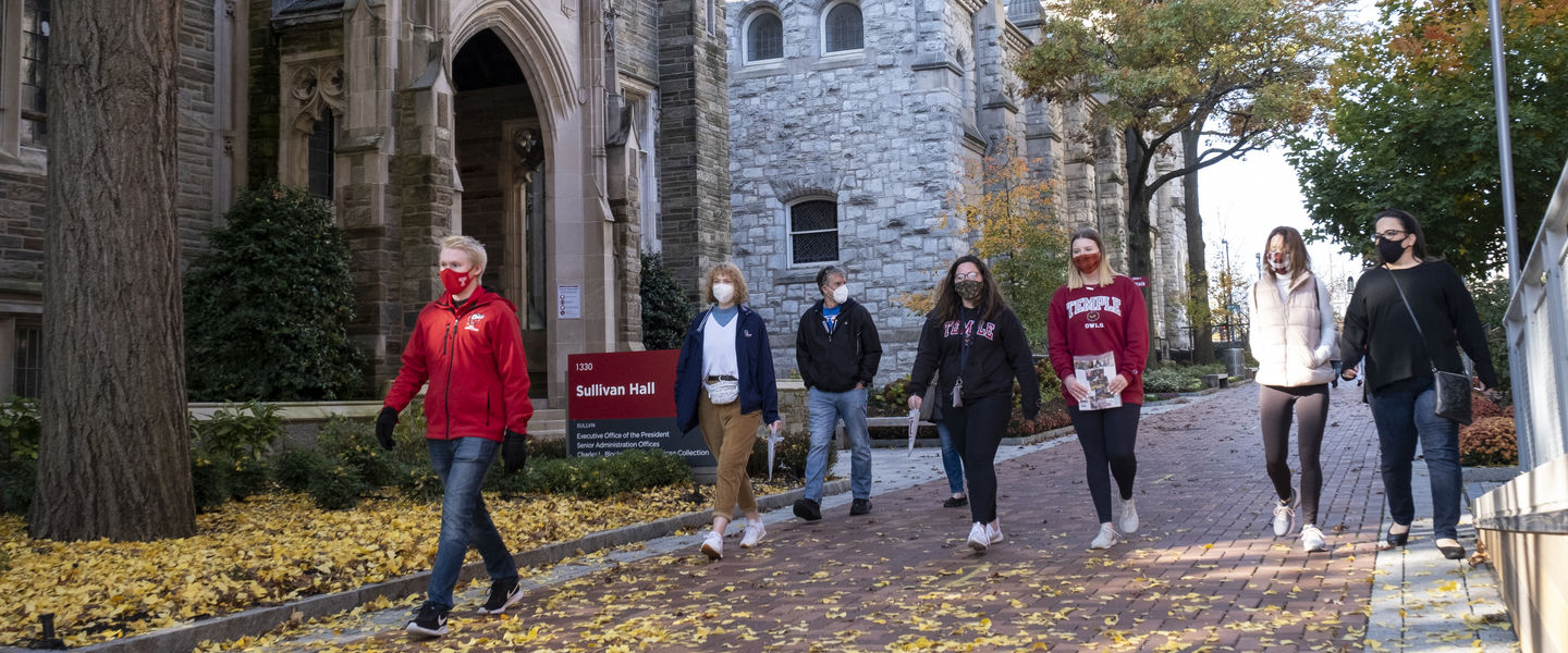
Directions to Our Main Campus and Welcome Center
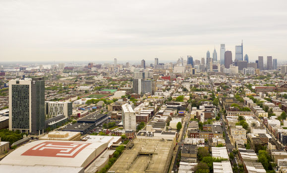
From in-person campus tours to special events and more, there are many ways to visit and experience Temple. Once you plan your visit, the next step is to figure out where to go on campus. For general directions, if you use Mapquest or Google Maps to find Main Campus, be sure to use the following address: 1801 N. Broad St., Philadelphia, PA 19122.
For students and families who are visiting our Main Campus for an in-person tour, all tours start at the university’s Welcome Center, located at the following address: 1101 W. Montgomery Ave., Philadelphia, PA 19122. The entrance to the Welcome Center is located on North 12th Street. Please keep in mind that you must register first to attend an on-campus tour.
If you are visiting campus for a specific event, you can expect to receive separate instructions regarding directions and parking after you register.
Parking Information
There are multiple options for visitor parking once you arrive at Temple’s Main Campus. The following information can help you to better plan your trip with parking in mind.
If you are visiting for a campus tour, parking is available in the Montgomery Garage, located at 1859 N. 11th St., Philadelphia, PA 19122. Parking is $6 per hour. There is also parking available at the Liacouras Garage, located on 15th Street, between Montgomery and Cecil B. Moore avenues. Parking is $20/entry. Parking is not validated and credits cards only are accepted.
In addition to the two public parking garages, Main Campus also has two metered surface lots—the Tuttleman lot, located on Montgomery Avenue between 13th and 12th streets, and the Cecil B. Moore lot, located on Cecil B. Moore Avenue between 12th and 13th streets. For rates and a complete list of parking options, visit the Campus Operations website.
Accommodations
We know that you may be traveling from outside of the city to visit campus, which is why Temple has partnered with multiple hotels in the area to provide lodging options for students and their families. Special university rates are available for selected locations.